
Drone Inspections. Done Right.
Structural insight, thermal checks, and cinematic fly-throughs without scaffolding, delays, or guesswork.

STRUCTURAL INSIGHT
We understand what you’re inspecting and why it matters.

REPORT-READY VISUALS
Named files, annotations, and summaries tailored to your brief.

FAST TURNAROUND
Standard 48–72 hour delivery.

CAA Certified & Insured
RAMS, permissions, and safe site conduct included every time.
SERVICES
-
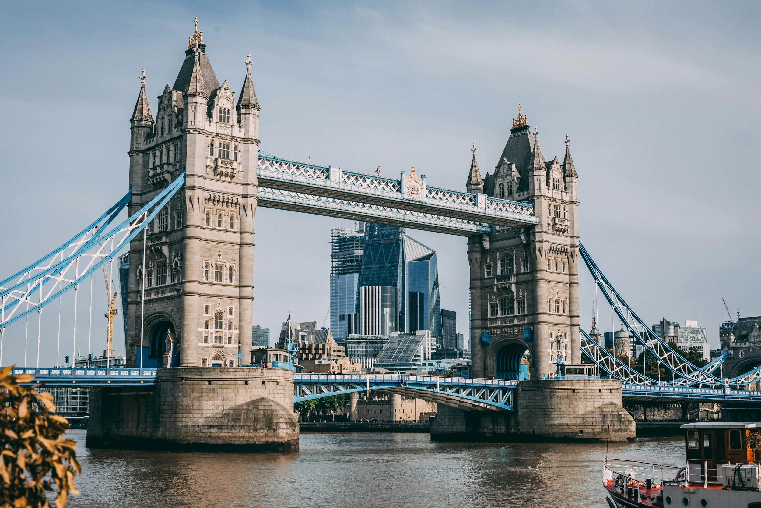
Structural Inspections
Spot cracks, corrosion, movement, and ingres, before they escalate.
-

Roof & Property Surveys
Fast visibility without scaffolding. No ladders, no risk, no delay.
-

Thermal & Post-Storm Assessments
Check for heat loss, blocked gutters, and storm damage quickly and safely.
-

Internal & Site Fly-Throughs
Simple, stabilised walk-throughs of internal spaces or landscapes for documenting layout, access, or build progress.
-

Creative & Marketing Content
Aerial media for estate agents, developers, tourism, or events. High-impact, brand-aligned, scroll-stopping footage.
TRUSTED BY PROFESSIONALS ACROSS THE UK
Landlords & Housing Associations
•
Schools, Colleges & Universities
•
Nature Parks & Conservation Areas
•
Charities, Churches and Community Areas
•
Conservation & Heritage Organisations
•
Construction & Infrastructure
•
Marketing Teams & Media Agencies
•
Landlords & Housing Associations • Schools, Colleges & Universities • Nature Parks & Conservation Areas • Charities, Churches and Community Areas • Conservation & Heritage Organisations • Construction & Infrastructure • Marketing Teams & Media Agencies •
Civil & Structural Engineering
•
Building Surveying
•
Facilities & Estate Management
•
Property Management
•
Roofing & Façades
•
Local Authorities
•
Asset Inspection & Maintenance
•
Civil & Structural Engineering • Building Surveying • Facilities & Estate Management • Property Management • Roofing & Façades • Local Authorities • Asset Inspection & Maintenance •


